
Kochi University, Weather Home
-


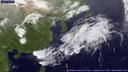
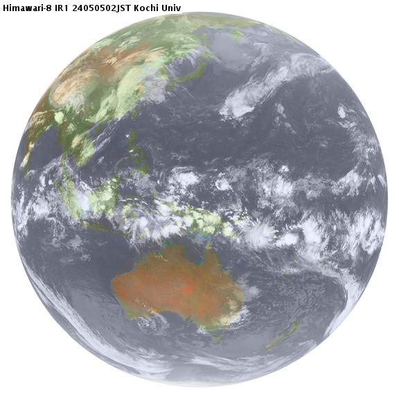
far-east area infrared image, IR1 (10.3-11.3 μm)
 |
|
 |
|
 |
|

-


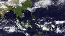
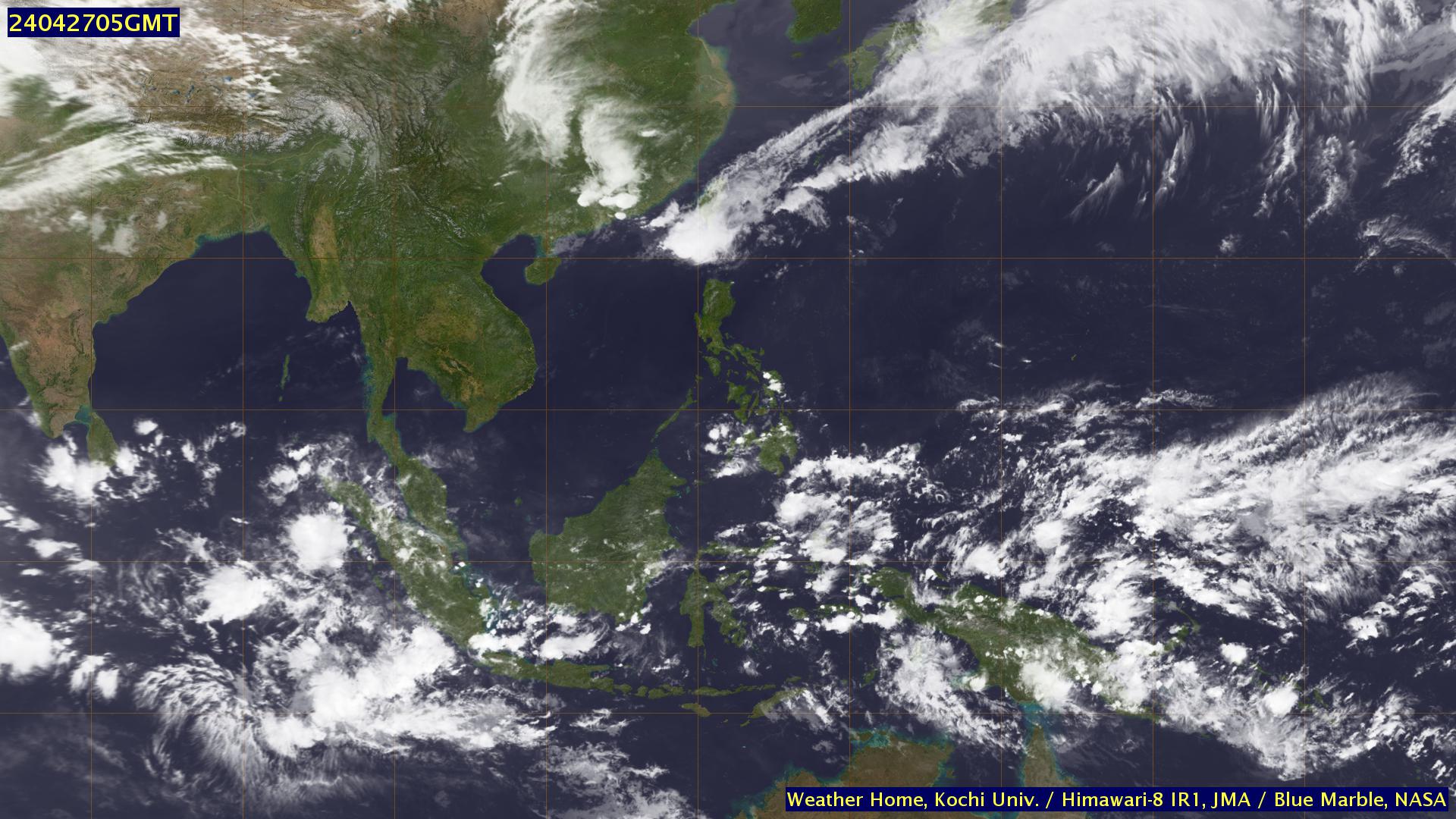
south east asia infrared image, IR1 (10.3-11.3 μm)
|
|
|
-


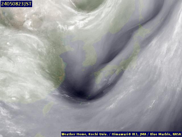
far-east area water vapor image, IR3 (6.5-7.0 μm)
|
|
|
-


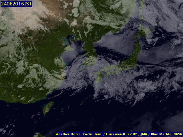
far-east area split channel (IR2-IR1)image (IR2: 11.5-12.5μm)
|
|
|
-


far-east area short infra-red difference (IR4-IR1)image (IR4: 3.5-4.0μm)
|
|
|
-


quicklook image, IR1 (10.3-11.3 μm)
 |
|
|
|
|
|
-


Japan and surrounding area visible image, VIS (0.55-0.90 μm)
|
|
|
-

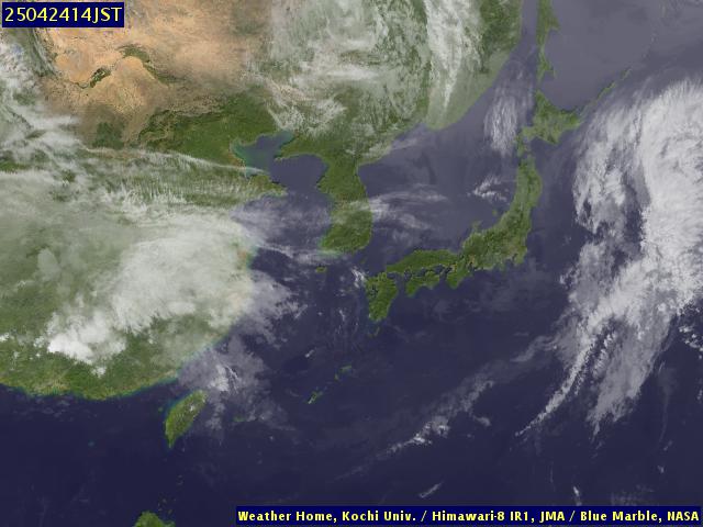
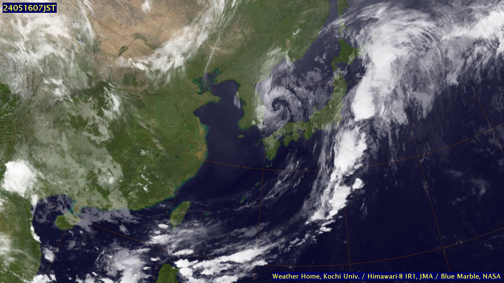
HD far-east area infrared image, IR1 (10.3-11.3 μm)
 |
|
|
|
|
|
-

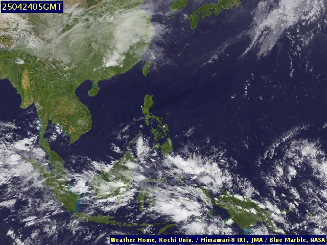
HD south east asia infrared image, IR1 (10.3-11.3 μm)
|
|
|
-
about the weather satellite images
-
All images data are taken by Himawari-8 (since 2015/07/07 11:00 JST) and Himawari 7 (MTSAT-2) ( before 2015/07/07 10:00 JST) , and received from Japan Meteorological Business Support Center
via the internet. Subsequent image processing are of our own.
-
image classification
-
JPEG format, PC desktop size. ( ~ 640x480)
QVGA (240x320) size, suitable for PDA and mobile phone.
Thumbnail size as seen above.
Animation for 5days in various formats.

hits since 2005/11/17
 |
|
 |
|
 |
|
 |
|

 |
|
 |
|
 |
|

 |
|
 |
|
 |
|
 |
|